 "Treasure Map" Heritage Hunt
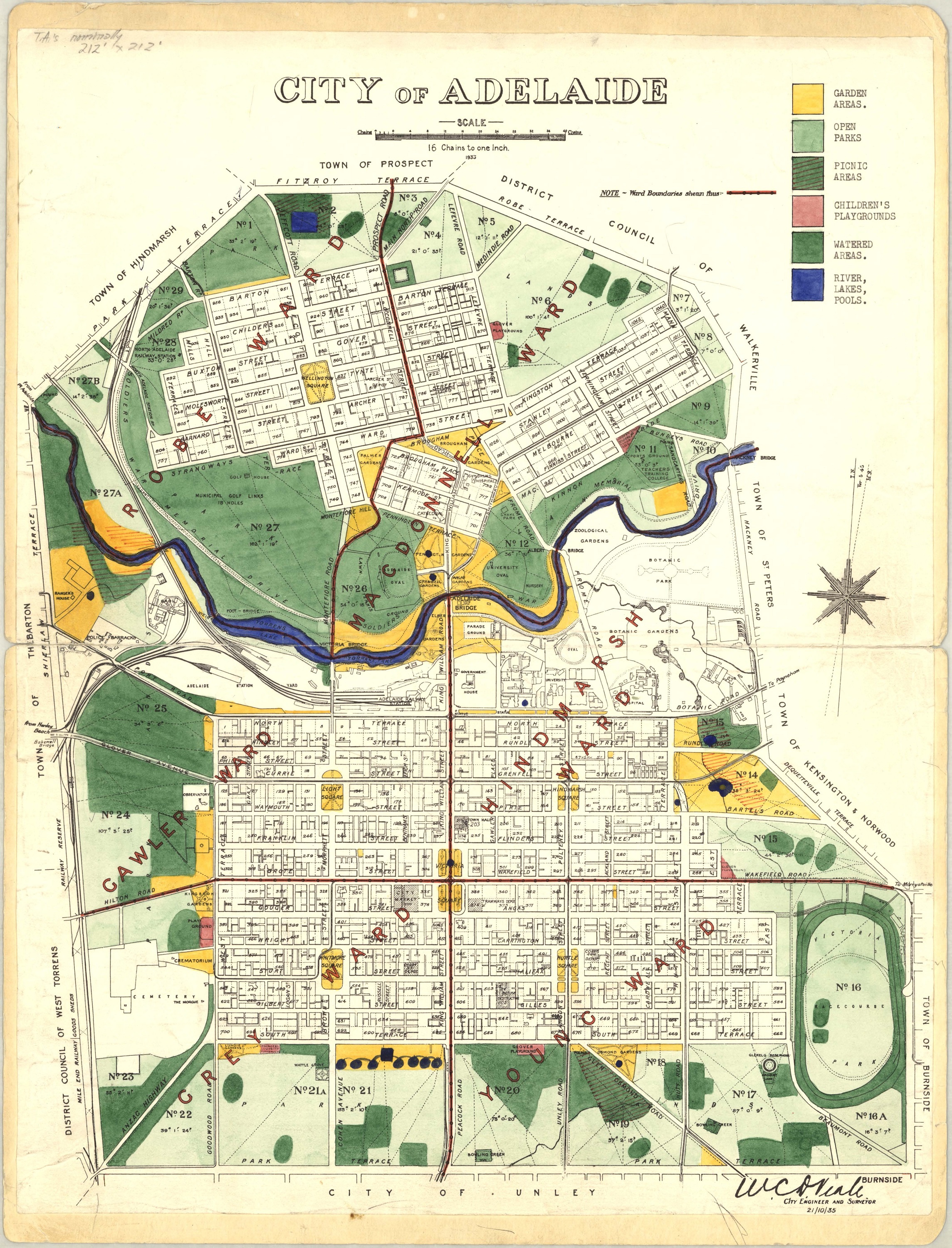
The below is a map of Adelaide's Central Business District, aiming to highlight differences in architecture and infrastructure between settlement and now.
🗺️ This map was drawn in the year 1935 by the engineer W.C.D. Veale!
🔍 As you move your cursor over the map, it will transform into an "X" over interactive spots. Clicking these areas will reveal historical insights.
Try clicking on Hindmarsh Square!
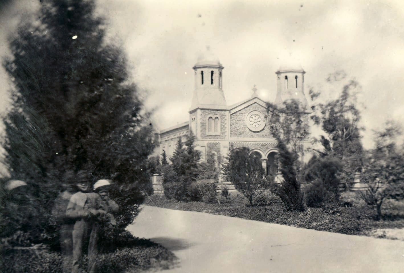
People walk by while horses and carts trot the dry and dusty dirt roads. Due to the exposure time it took to capture this photograph, [read more...]
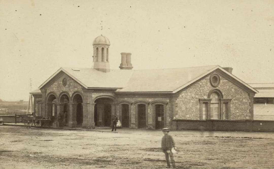
The original station, a charming limestone structure, was established in 1856 and was the first Government-owned and steam-operated railway in the British Empire. [read more...]
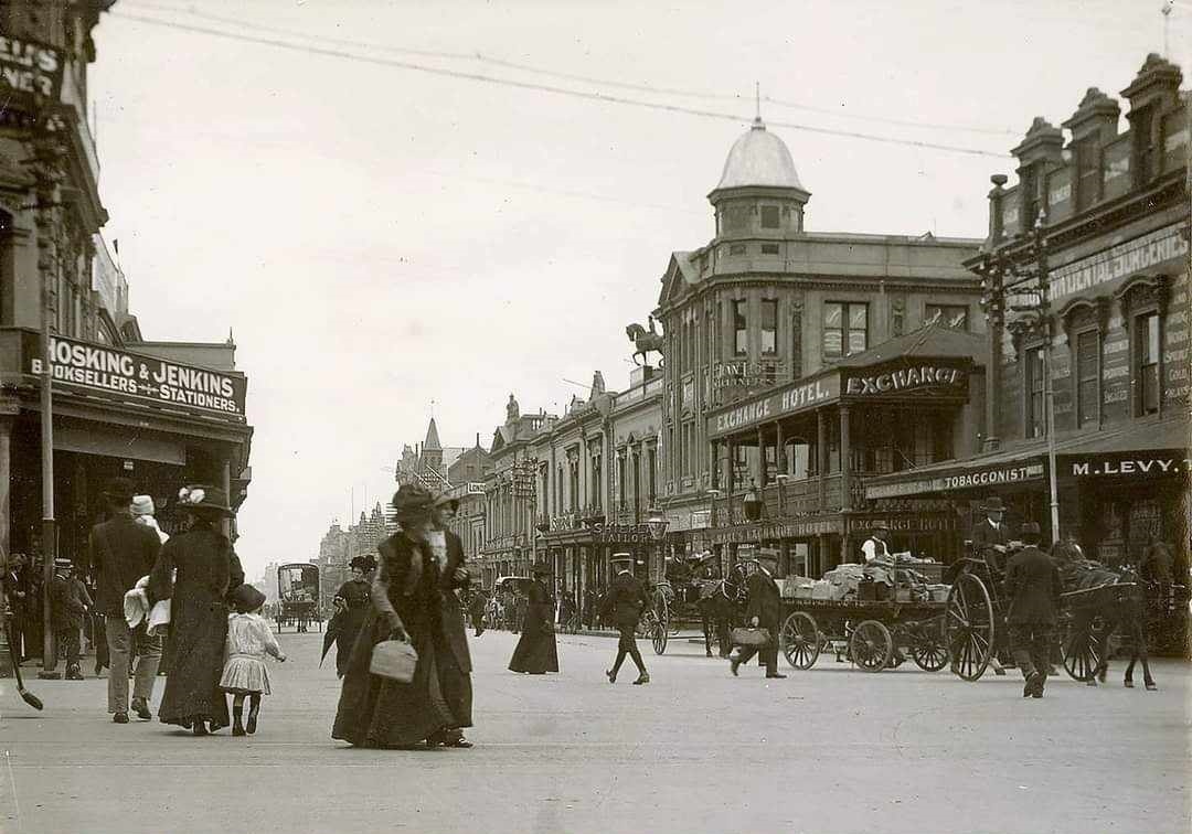
This view is of considerable activity, as numerous people go about their daily business. A young family, children in hand, cross King William Street, while [read more...]
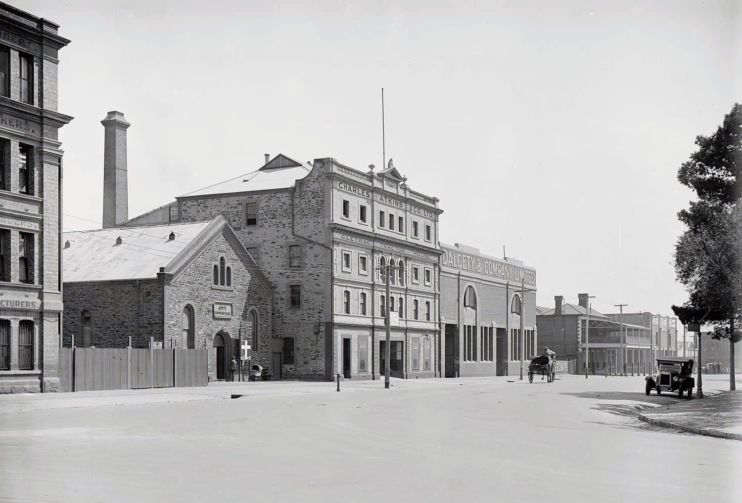
A horse and cart trot towards Currie Street where three men hurriedly cross the busy intersection. Meanwhile a hatted individual inspects the [read more...]

A horse and cart trot towards Currie Street where three men hurriedly cross the busy intersection. Meanwhile a hatted individual inspects the [read more...]

A horse and cart trot towards Currie Street where three men hurriedly cross the busy intersection. Meanwhile a hatted individual inspects the [read more...]

A horse and cart trot towards Currie Street where three men hurriedly cross the busy intersection. Meanwhile a hatted individual inspects the [read more...]

A horse and cart trot towards Currie Street where three men hurriedly cross the busy intersection. Meanwhile a hatted individual inspects the [read more...]

A horse and cart trot towards Currie Street where three men hurriedly cross the busy intersection. Meanwhile a hatted individual inspects the [read more...]

A horse and cart trot towards Currie Street where three men hurriedly cross the busy intersection. Meanwhile a hatted individual inspects the [read more...]